Web GIS Applications
We offer innovative Web GIS applications that make mapping, spatial analysis, and data sharing simple and accessible. Our user-friendly, reliable solutions help businesses, communities, and researchers visualize information, make informed decisions, and work more efficiently - all from a web browser. Trust us for powerful geospatial technology and seamless digital experiences.
LULC
ROOTPIXIN’s Web GIS Workbench is a user-friendly, open-source platform for extracting and analyzing land use and land cover (LULC) data, as well as exporting geospatial statistics and maps.
Forest Type & Tree Species Mapper
Rootpixin provides a web GIS for mapping forest types and species, composing maps, and exporting spatial data as KML for GIS platforms or CSV for analysis and reporting.
Biological Importance Mapper
ROOTPIXIN provides a Web GIS for assessing biological richness and importance, identifying conservation priorities, supporting planning, creating maps, and exporting spatial data as KML or CSV for GIS and analysis.
QuickMap Services
QuickMap is a user-friendly platform for DGPS (georeferencing) maps, including topo maps (availability dependent). It converts KML files into accurate PDF maps for non-GIS users.
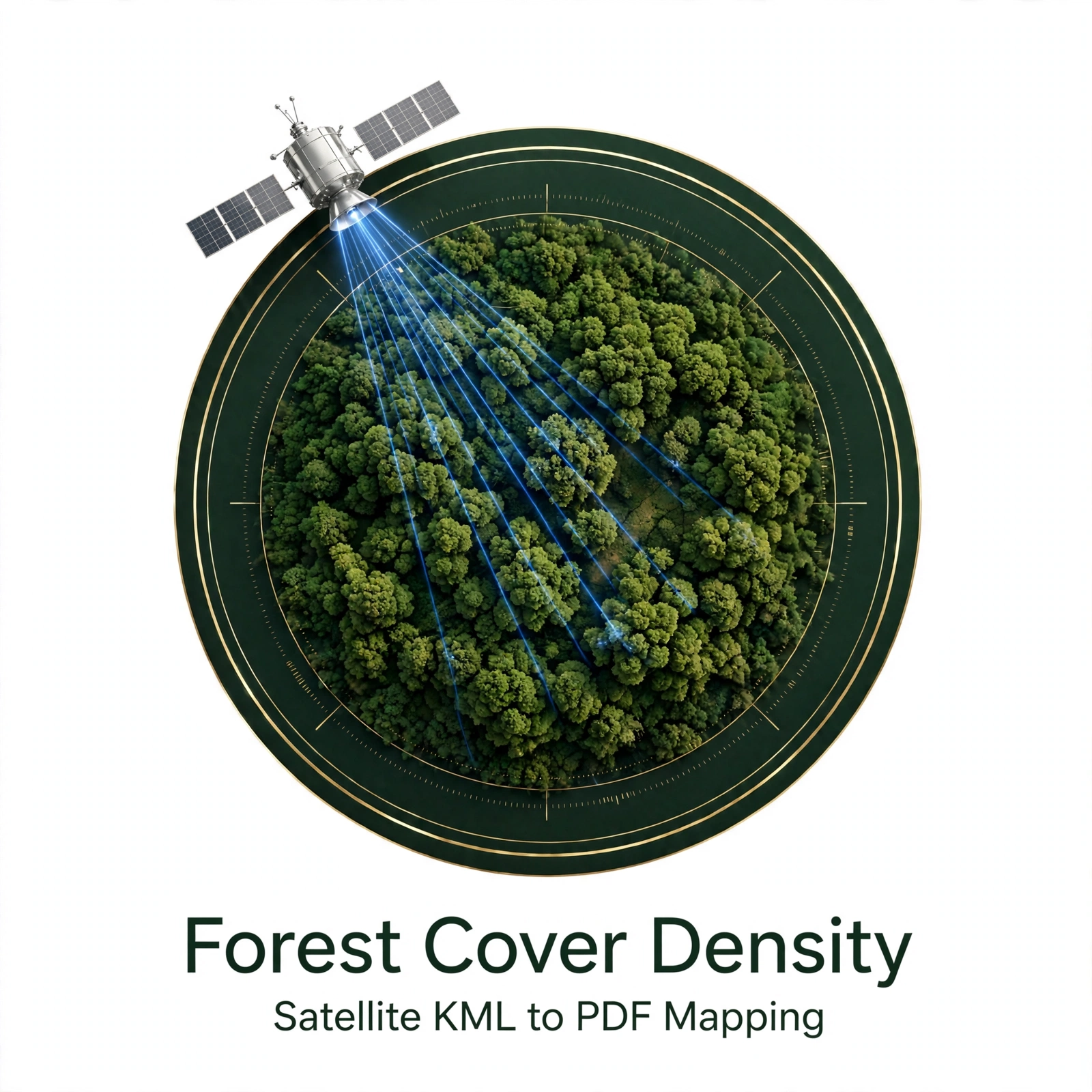
Forest Cover Density
A platform designed to simplify the creation of forest/green space density maps using satellite data. Users can upload KML files to generate density maps, which can be downloaded in PDF. It offers an easy way for non-GIS users to visualize and analyze forest cover.
HydroGIS
HydroGIS integrates hydrological data with Geographic Information Systems (GIS) to analyze, model, and manage water resources, enabling improved decision-making for sustainable water resource planning and management.
Land Information System (LIS)
A GIS-based Land Information System captures, stores, analyzes, and displays land data, supporting efficient planning, property management, resource monitoring, and informed decision-making.
GeoWeb
ROOTPIXIN's Web GIS Workbench offers a user-friendly, open-source platform for digitizing, analyzing, and exporting geospatial data, ideal for Geo-environmental management.