GIS Solutions
Providing innovative GIS and remote sensing solutions for government, industry, and research projects nationwide.
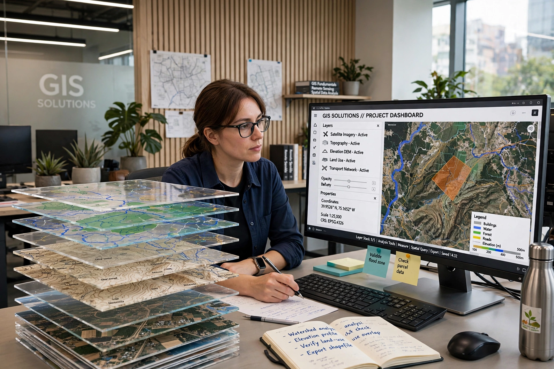
Our GIS solutions cover spatial data collection, thematic mapping, satellite image analysis, and custom geodatabase design — helping government agencies, NGOs, and private enterprises make informed, location-based decisions.
Forestry Services
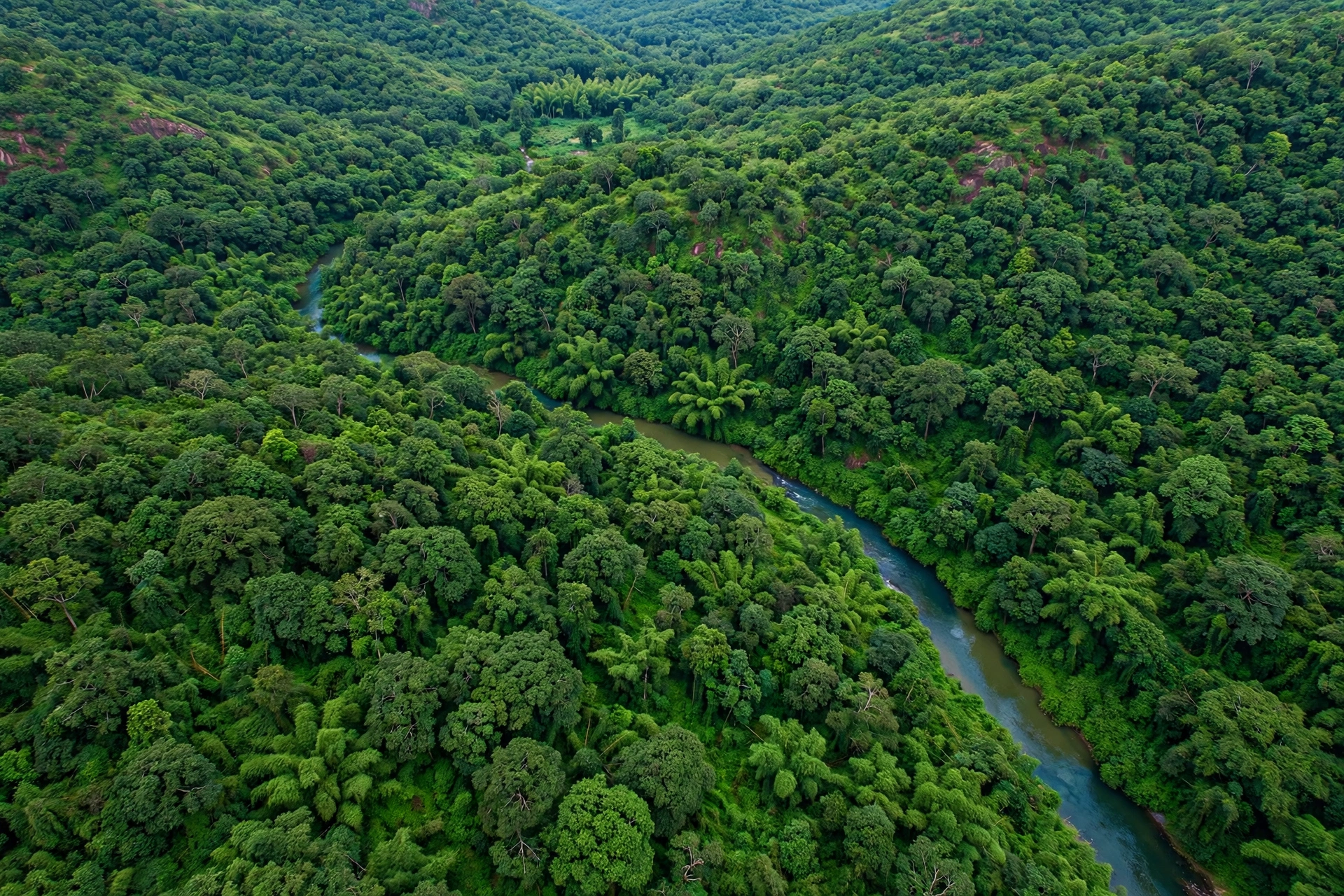
Forest diversion proposals, GPS/DGPS/ETS surveys, land assessment, tree enumeration, and working plan consultancy.
We support forest departments and agencies with working plan preparation, biodiversity and carbon stock assessment, boundary demarcation, and compliance documentation for forest clearance and afforestation projects.
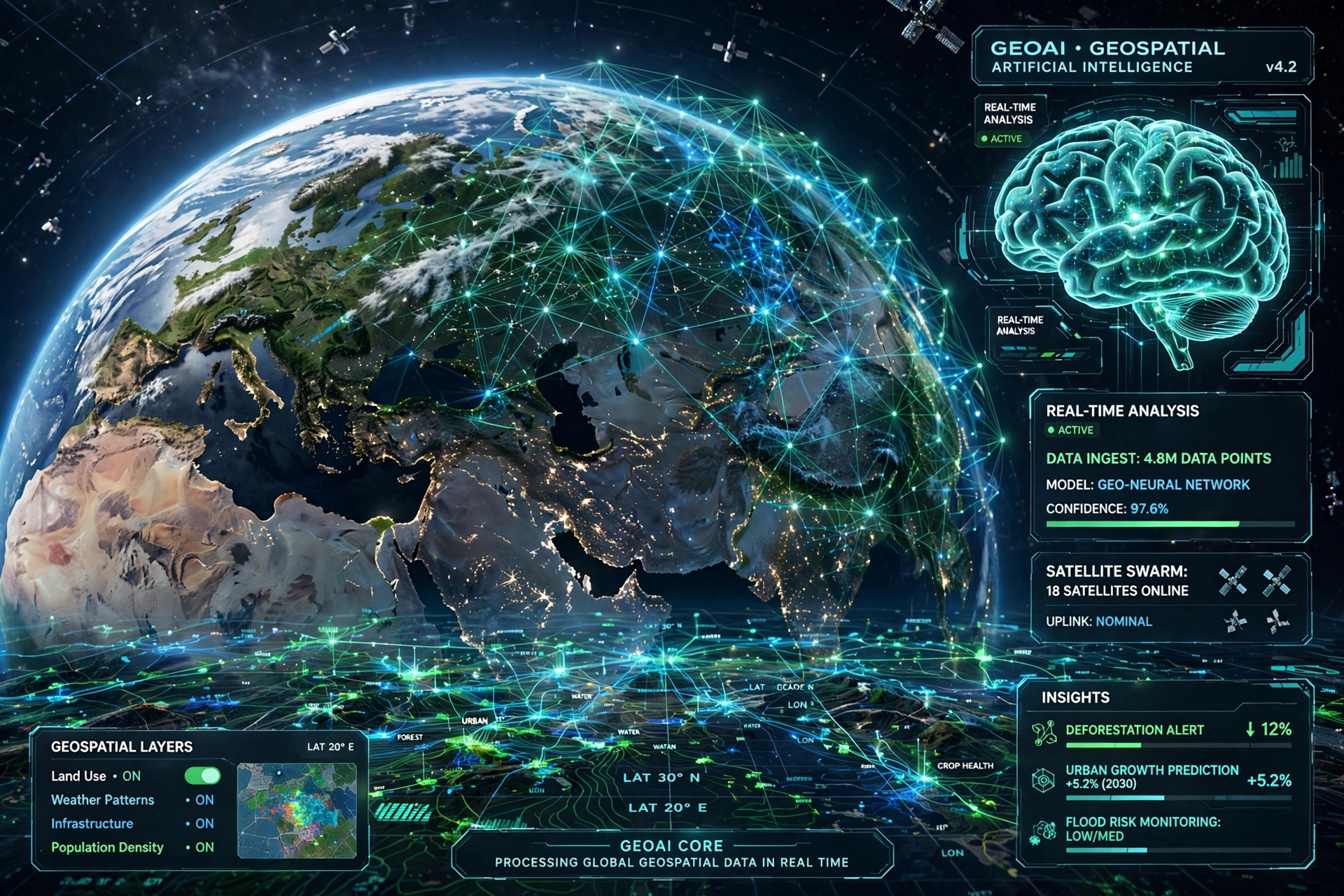
GeoAI
Building, analyzing, and visualizing the future with geospatial artificial intelligence and machine learning tools.
By combining machine learning with satellite and drone imagery, our GeoAI services automate land-use classification, change detection, and predictive spatial modelling — turning raw geospatial data into actionable insight, faster.
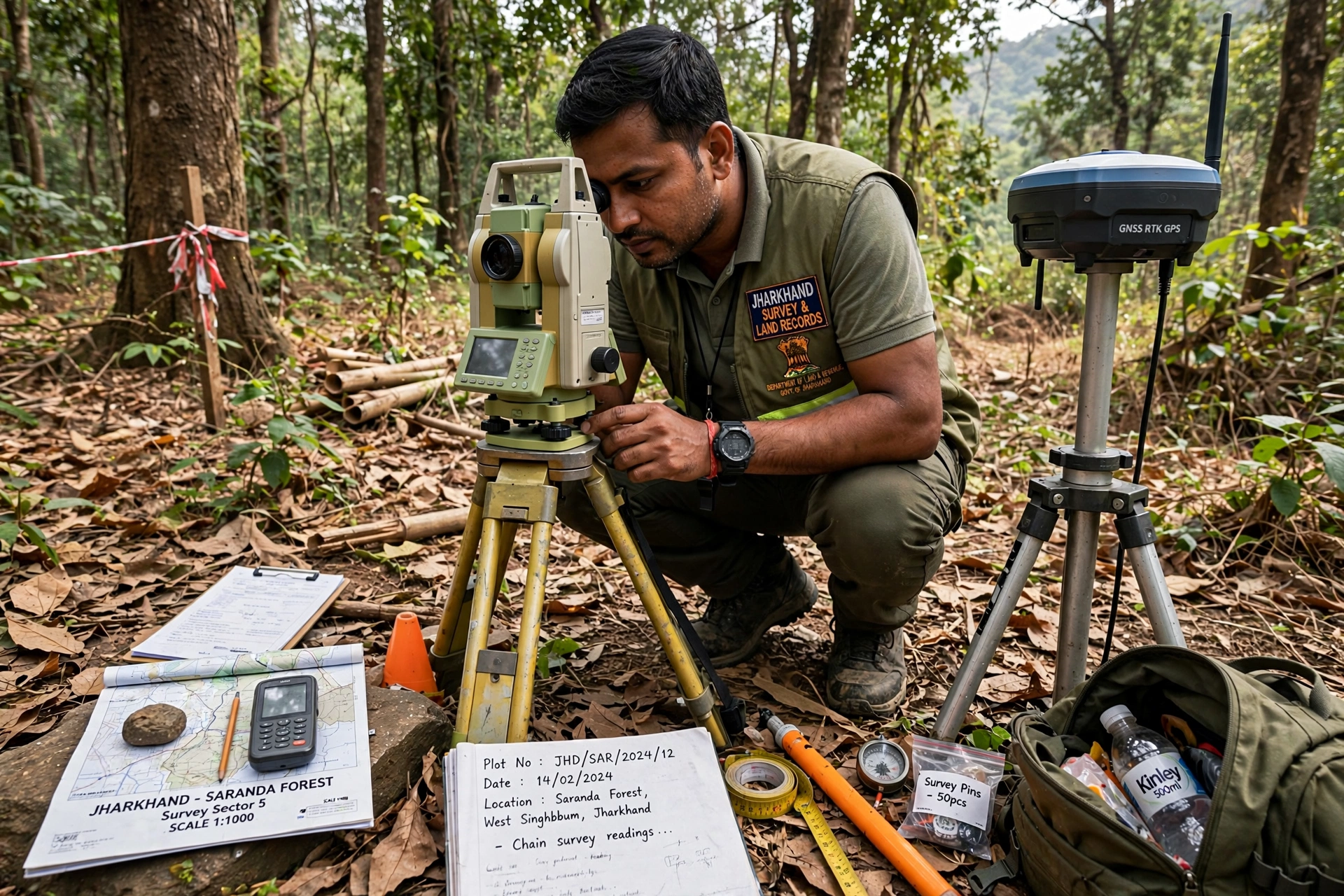
Land Survey
Precision land surveying using GPS/DGPS, Total Station, and drone photogrammetry for accurate boundary mapping.
Our survey teams deliver high-accuracy results for boundary disputes, infrastructure planning, and property documentation, combining traditional field surveying with modern drone photogrammetry for faster turnaround.
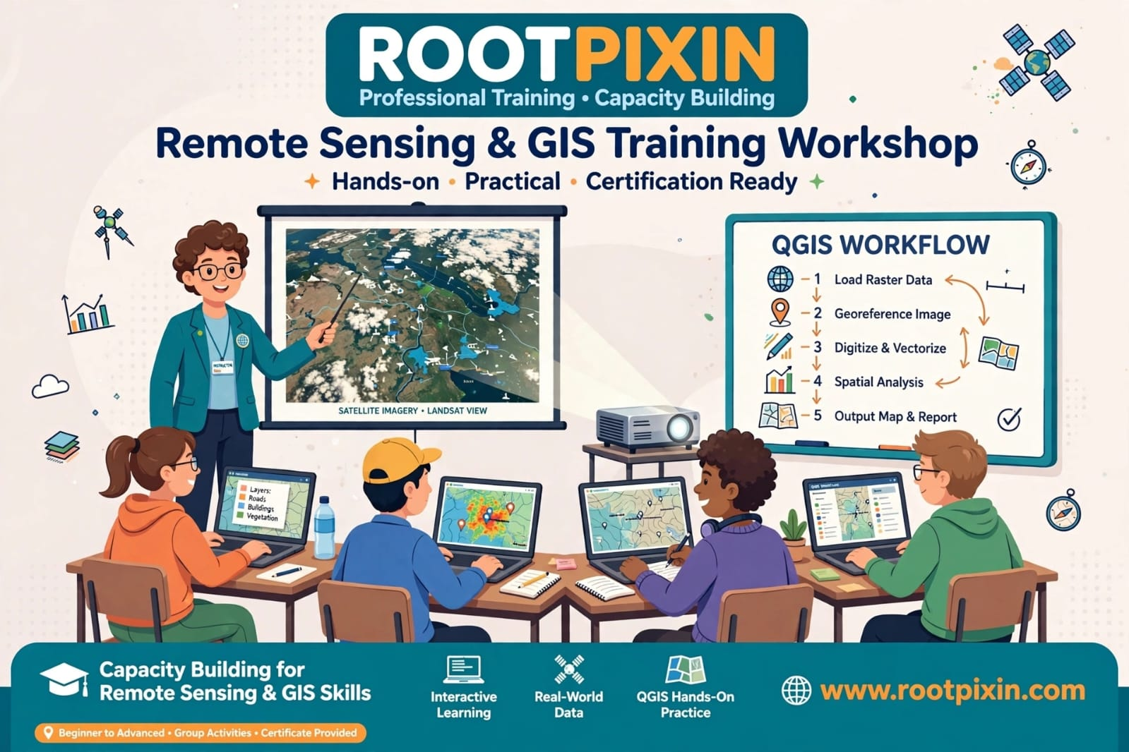
Geospatial Training & Capacity Building
Hands-on training programs and workshops in GIS, remote sensing, and geospatial technologies for professionals.
From short certificate courses to customised corporate workshops, our training programs blend classroom concepts with practical, software-based exercises so participants leave job-ready in GIS and remote sensing tools.
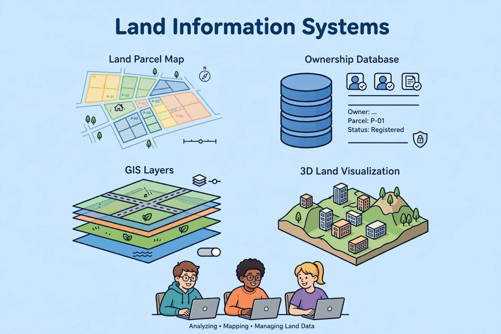
Land Information System (LIS)
Design and development of digital land record systems integrating spatial and attribute data efficiently.
We help government bodies and institutions build robust Land Information Systems that link cadastral maps with ownership, tax, and legal records — streamlining land administration and reducing disputes.
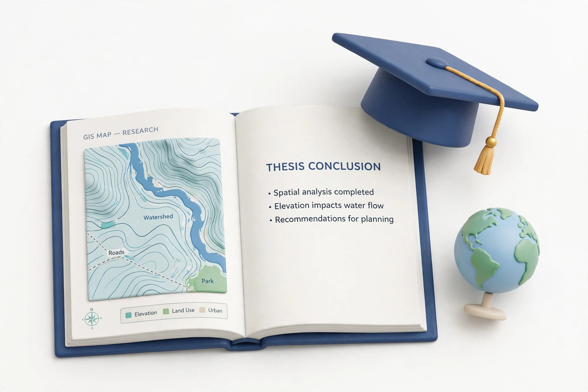
Academic Project/Research Guidance
Mentorship and technical guidance for student dissertations, research projects, and publications in GIS/RS.
We guide undergraduate and postgraduate students through every stage of their GIS/RS research — from topic selection and methodology to data analysis, manuscript writing, and publication support.